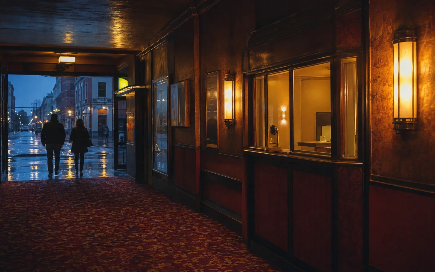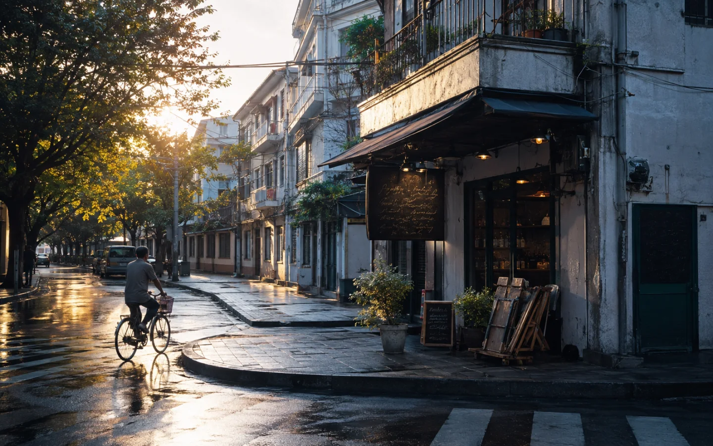
A map is excellent at delivering us to an address. It is less useful at showing what deserves attention between here and there.
Method note: This guide draws on spatial-learning research. It recommends low-risk walking in familiar public areas, not abandoning navigation tools when safety depends on them.
Efficiency narrows the street
Turn-by-turn directions reduce a journey to a sequence of instructions. The city becomes a blue line, and anything outside the route is treated as delay. We arrive efficiently, but often with little sense of the neighborhoods we crossed.
Walking without directions changes the scale. Shop windows, tree shade, the slope of a lane and the sound from an open workshop become navigation cues. The street returns as a place rather than a surface for movement.
Choose a loose rule
The aim is not to become dangerously lost. Start somewhere familiar, keep enough time, and choose a simple rule: follow the sunnier street, turn toward older buildings or continue until traffic becomes quiet.
A loose rule removes the pressure to pick the perfect direction. It also produces a route that is personal without being planned. At any point, the map remains available if the afternoon needs to end.
Remember through landmarks
Without a moving dot to confirm position, memory begins collecting anchors. A blue gate, a bakery vent, a triangular park and a row of bicycles form a rough internal map. The route may be inaccurate, but it is rich in detail.
Returning home, the distance often feels longer than it was. That expansion is part of the pleasure. A familiar city briefly becomes large again, not because it changed, but because attention did.
Navigation tools change what we notice
Turn-by-turn directions are excellent for immediate accuracy, but research on navigation systems suggests that stepwise instructions can reduce attention to landmarks and limit incidental spatial learning. Another study found strong links between realistic route-finding tasks and measures of spatial memory.
This does not make GPS harmful. The tradeoff depends on the task. Reaching an unfamiliar hospital on time calls for reliable directions. Learning the shape of a safe neighborhood may benefit from occasionally looking up, predicting the next turn and checking the map afterward.
Use a safe map-light method
Choose daylight, a familiar district and a firm return time. Check the broader area before leaving, save the route offline and keep the phone available. Walk one segment without prompts, then stop somewhere safe and predict your location before checking.
Notice stable landmarks rather than temporary vehicles or signs. Building corners, parks, slopes, bridges and the direction of sunlight are more useful than a parked van. Describe each important turn in your own words because descriptive labels can strengthen route memory.
Accessibility and safety come first
Map-light walking is not appropriate everywhere or for everyone. Mobility needs, visual impairment, harassment risk, severe weather and poor pedestrian infrastructure change the calculation. Navigation assistance is an access tool, and no exercise is worth reducing personal safety.
The practical goal is not to celebrate getting lost. It is to build a slightly richer understanding of a place while keeping a reliable way home. Use as much technology as the situation requires.